
Beschreibung
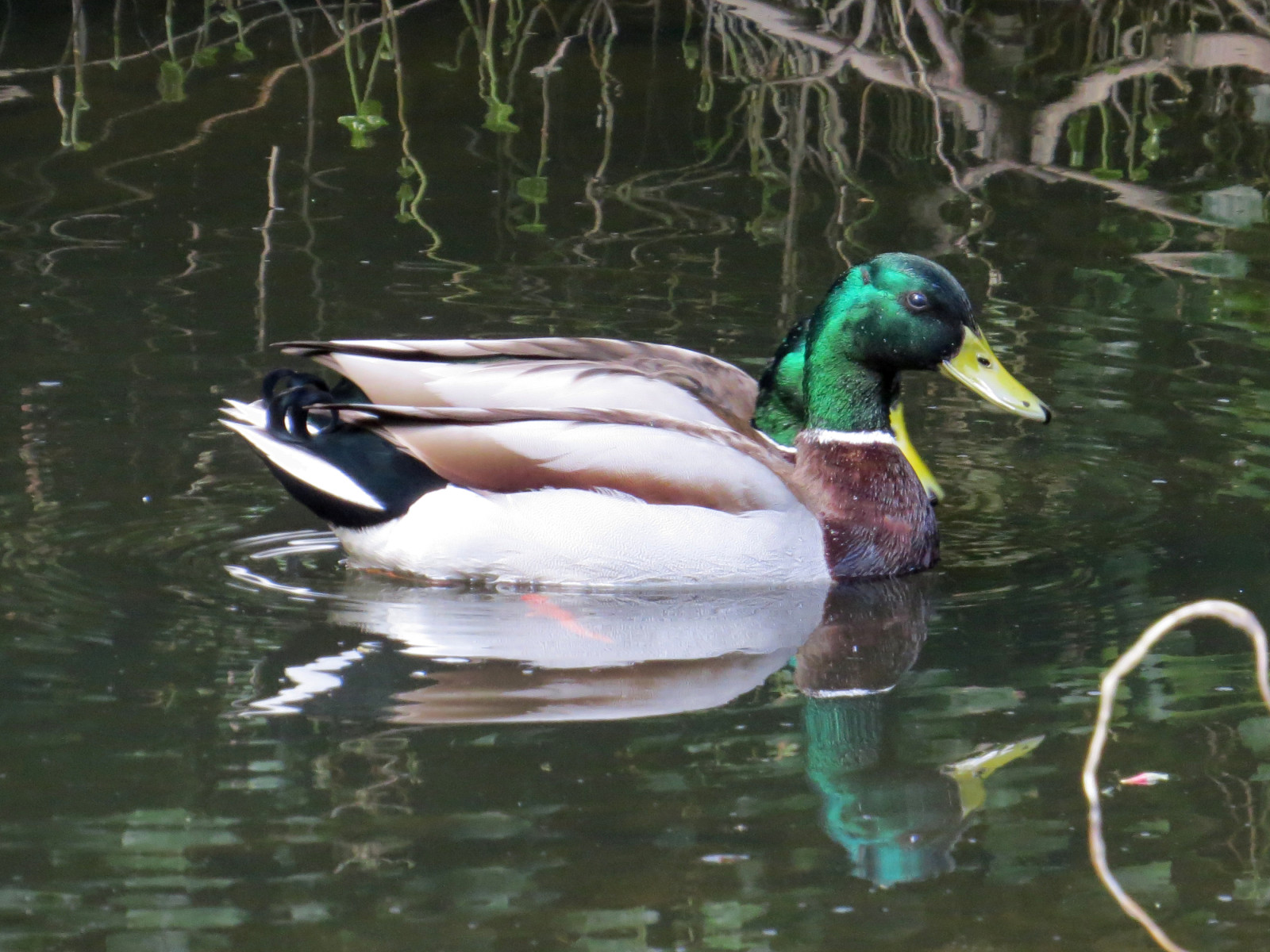
Jesmond Dene is a good site for common woodland birds for anyone living in or visiting Newcastle. The Ouse Burn stream running the length of the valley, although somewhat polluted, has regular Eisvogel and Gebirgsstelze, and occasional Wasseramsel, while the woods hold most of the expected woodland birds, including Hohltaube, Waldkauz, Buntspecht, Eichelhäher, Mönchsgrasmücke, Zilpzalp, and recently, colonising Halsbandsittich. In the past, Kernbeißer and Grauschnäpper were regular and Waldlaubsänger were occasional on spring passage, but there are sadly no recent records of these declining species.
One surprising recent addition to the breeding bird list, Austernfischer, now nests on flat rooftops and can be seen gathering worms for their chicks on the sports fields around the edge of Jesmond Dene - the only breeding wader in the area.
Details
Zugang
Bus services 38, 306, 308, 309 from the centre of Newcastle all cross the Dene; other busses pass close by the northern and southern ends of the Dene. Multiple cycle routes are close by too; while careful cycling within the Dene is possible, it is not generally a good idea due to the steepness of many of the paths, and the number of pedestrians present. While many of the flatter paths are wheelchair accessible, the steeper valley side paths are not suitable for wheelchairs.
Terrain und Habitat
Wald , Fluss , Schlucht/Cliff , Vereinzelte Bäume und Büsche , Stadt/DorfBedingungen
Hügelig , Trocken , RutschigRundweg
JaIst ein Spektiv nützlich?
NeinGute Beobachtungszeit
GanzjährigBeste Beobachtungszeit
Winter , FrühjahrRoute
asphaltierte Straße , Normaler Weg , unbefestigte StraßeSchwierigkeitsgrad der Tour
DurchschnittlichErreichbarkeit
zu Fuß , Fahrrad , RollstuhlBeobachtungshütten oder -türme
NeinZusätzliche Informationen
Note the path indicated on the map below (5,5 km) is selected to show a variety of habitats and birds within the site; it includes some steep sections unsuitable for wheelchair users. Numerous alternative paths are available, just choose where you want to go!


 ) Tragen Sie die Vogelnamen in Ihrer Sprache ein. Sie werden automatisch für andere Nutzer übersetzt!