
Beschreibung
Chesil Beach (or Chesil Bank) is an 18 mile long shingle beach that runs from West Bay in the west to the Isle of Portland in the east, near the western end is Cogden Beach and West Bexington Nature Reserve, the two separate areas are just behind the shingle beach and both have good areas of reedbeds, of the two West Bexington has more open water. The area is better known for passage migrants with Samtkopf-Grasmücke (first for Dorset), Stelzenläufer, Thorshühnchen in recent years and in the spring of 2021 a Brachpieper. You can walk the full distance between Cogden Beach National Trust car park (fee payable) and West Bexington Beach car park (fee payable) or treat the two sites separately.
Details
Zugang
The A35 Bridport to Dorchester road runs West to East to the North of the sites. If starting from Bridport leave on the A35 towards Dorchester, after 2 miles turn Right into Shipton Road (signed Shipton Gorge/Burton Bradstock), after passing through Shipton Gorge Shipton Road changes to Shipton Lane (narrow at times). On arriving in Burton Bradstock continue to a T Junction and turn Left onto High Street. Continue on this road and turn Left onto the B3157 (Common Lane), shortly after passing holiday park (on Right) you arrive at Cogden Beach car park. Follow footpath to beach or alternatively across fields. For West Bexington Nature Reserve (Dorset Wildlife Trust), leave Cogden Beach car park and turn Right (East) towards Abbotsbury on the B3157, on arriving at the village of Swyre turn Right (opposite The Bull Inn public house) into Swyre Road that takes you to the beach car park at West Bexington, the footpath runs West from the car park.
Terrain und Habitat
Vereinzelte Bäume und Büsche , Grasland, Wiesen , Meer , Schilfflächen , Stadt/Dorf , Landwirtschaft , Strand , See , FeuchtgebietBedingungen
Flach , Hügelig , Offene Landschaft , Sumpfig , Hochwasser möglich , RutschigRundweg
JaIst ein Spektiv nützlich?
JaGute Beobachtungszeit
GanzjährigBeste Beobachtungszeit
Winter , Frühjahrszug , Frühjahr , Herbst , HerbstzugRoute
Schmaler Pfad , Normaler WegSchwierigkeitsgrad der Tour
DurchschnittlichErreichbarkeit
zu FußBeobachtungshütten oder -türme
NeinZusätzliche Informationen
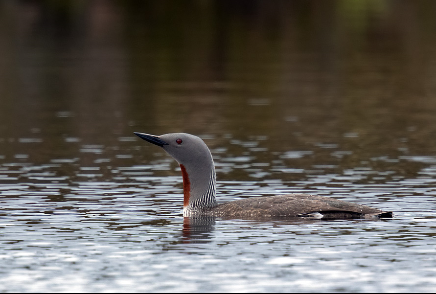
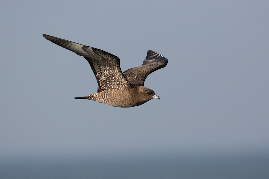
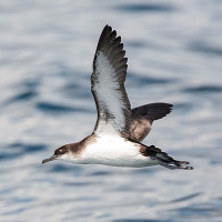
BE WARNED, THE AREA IS KNOWN FOR VENOMOUS SNAKES. Following periods of prolonged rainfall the field areas behind beach can be extremely wet with potentially deep ditches. You can gain access to West Bexington Nature Reserve (for entrance SEE STAR on map). NOTE because the beach is made up of shingle the walk along it can be hard going. As with most South Coast beaches they can be EXTREMELY busy during summer months and car parks fill up quickly. BE SURE to check sea for Grebes/Divers and Seabirds and other birds on the beach.


 ) Tragen Sie die Vogelnamen in Ihrer Sprache ein. Sie werden automatisch für andere Nutzer übersetzt!