
Beschreibung
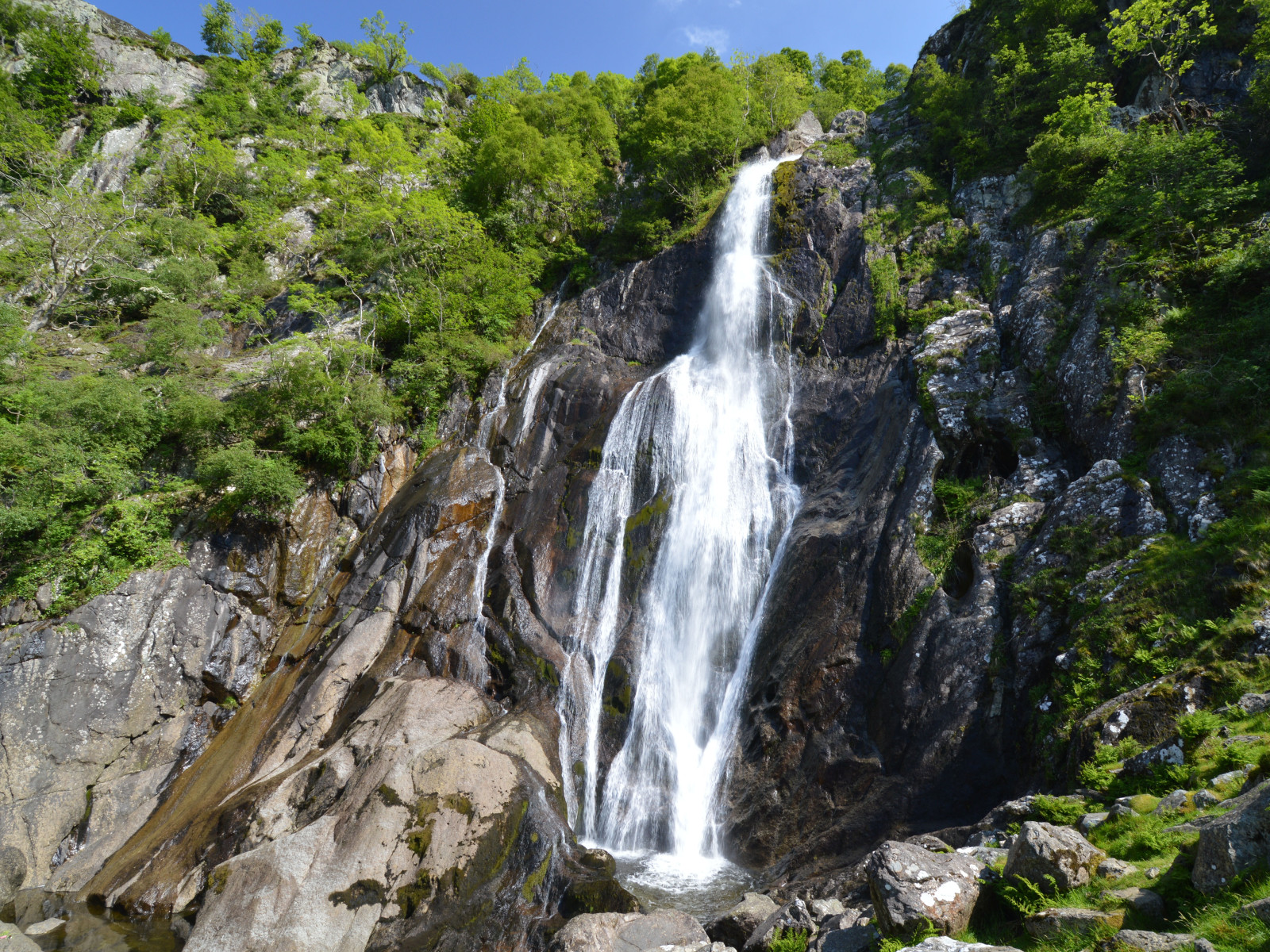
Aber Falls is located in one of the northernmost of Wales' classic hill valley woodlands. Easily accessible from the university city of Bangor and the North Wales coastal road. The semi-natural to natural woods of Oak, Ash, Alder, and Hawthorn are excellent breeding habitat for the four classical upland broadleaf woodland birds, Trauerschnäpper, Gartenrotschwanz, Baumpieper and Waldlaubsänger, as well as resident species like Grünspecht and Misteldrossel. The river below the Falls, the Afon Goch, has Wasseramsel, Gebirgsstelze and Flußuferläufer. Around the cliffs beside the Falls, scan for Ringdrossel in spring and summer, and on the screes, Braunkehlchen, Schwarzkehlchen and Steinschmätzer. The area is bleak in winter, but flocks of Rotdrossel and Wacholderdrossel can be seen in the open ground, and Erlenzeisig and Alpenbirkenzeisig feeding on seeds in the Alders and Birches.
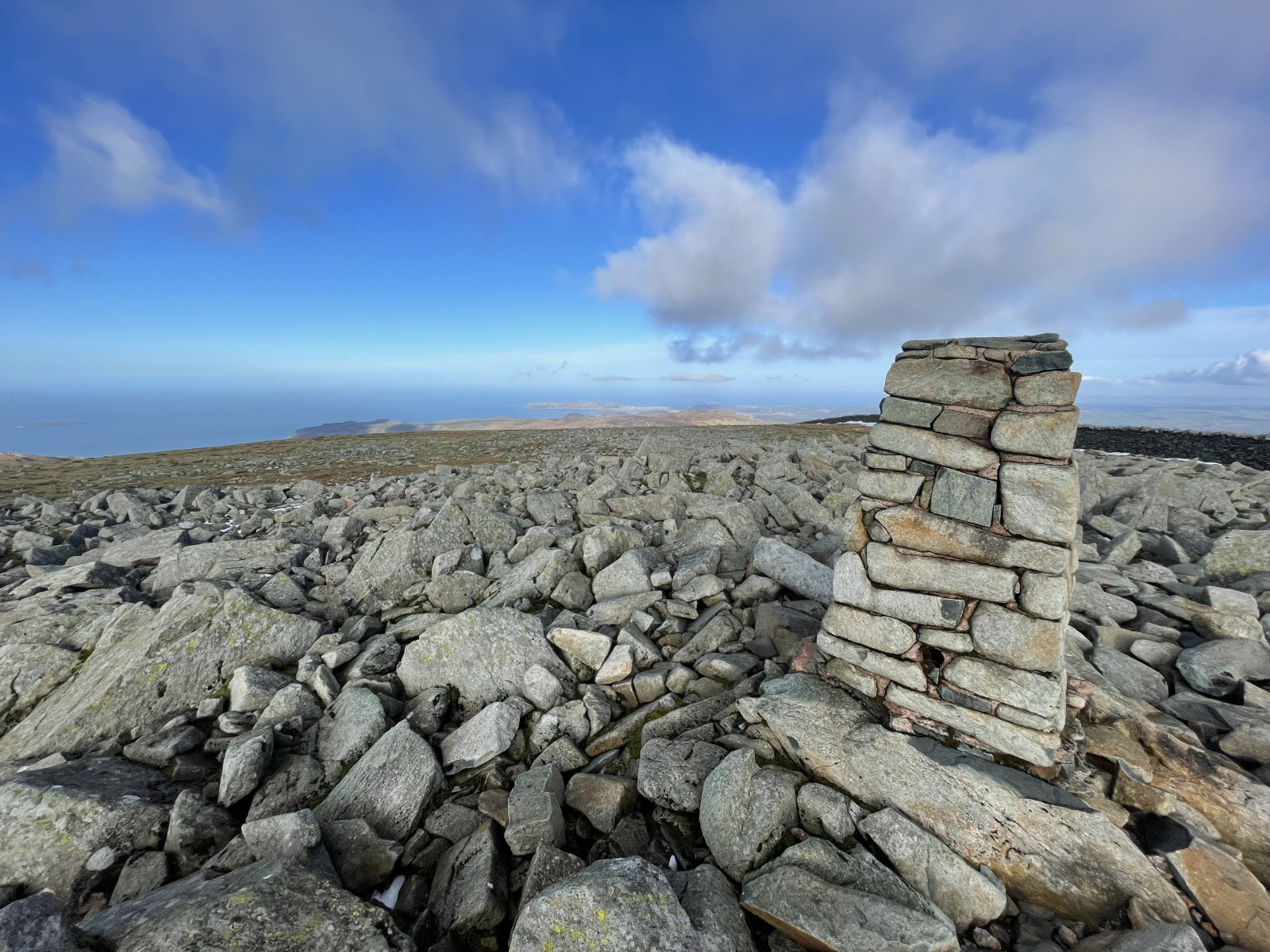
A longer, strenuous option is to continue to the southeast of the falls; climb up the side of the former plantation to the northeast of the Falls, then cut straight up the open moor to Llwytmor (849 m) and on to Foel-fras (944 m) and Foel Grach (974 m), or even to Carnedd Llewelyn (1,064 m). Birds up here are few, but Kolkrabe is reliable, Wanderfalke regular, Alpenkrähe occasional, and in mid to late May, spring passage Mornellregenpfeifer are frequently seen on the barren high tops. Be careful when descending to follow a safe path, don't try climbing down the cliffs beside Aber Falls!
Details
Zugang
Take the bus from Bangor to Llanfairfechan (and beyond), alight at Abergwyngregyn and walk from there; alternatively, cycling from either Bangor (10 km) or Llanfairfechan (4 km) rail stations. For cars, see the P sign on the map for directions.
Terrain und Habitat
Wald , Berg , Schlucht/Cliff , Vereinzelte Bäume und Büsche , Grasland, Wiesen , Plateau , Tal , FlussBedingungen
Gebirgig , Sumpfig , Hügelig , Felsig , Offene Landschaft , RutschigRundweg
JaIst ein Spektiv nützlich?
NeinGute Beobachtungszeit
Frühjahr , SommerBeste Beobachtungszeit
Frühjahr , SommerRoute
Normaler Weg , unbefestigte Straße , Schmaler PfadSchwierigkeitsgrad der Tour
DurchschnittlichErreichbarkeit
zu Fuß , Fahrrad , AutoBeobachtungshütten oder -türme
NeinZusätzliche Informationen
Note that the mountain option should only be attempted during good weather (dry, with cloud base reliably above 1,500 m). With low cloud and rain - frequent at any time of the year - the moors become very dangerous, as it is easy to get lost and fall down any of the many crags. Make sure you are equipped for heavy rain at any time - this is a temperate rainforest area! In winter, deep snow can be expected above 300-400 m; do not attempt the mountains in this without good mountaineering experience!
Photo of Aber Falls by Clive Giddis, cc-by-sa license, from geograph.org.uk (photo 4006020).


 ) Tragen Sie die Vogelnamen in Ihrer Sprache ein. Sie werden automatisch für andere Nutzer übersetzt!