Beschreibung
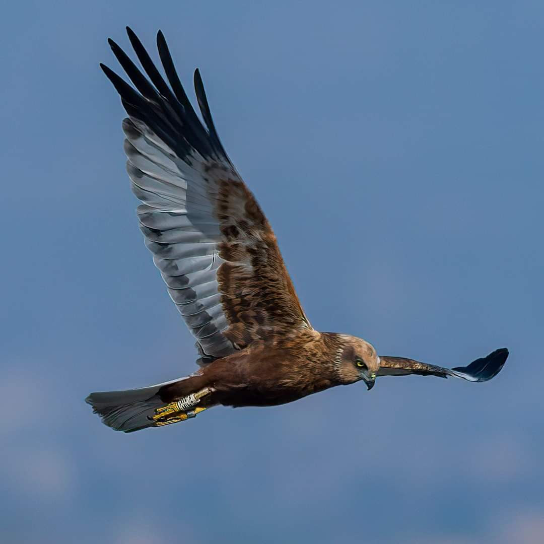
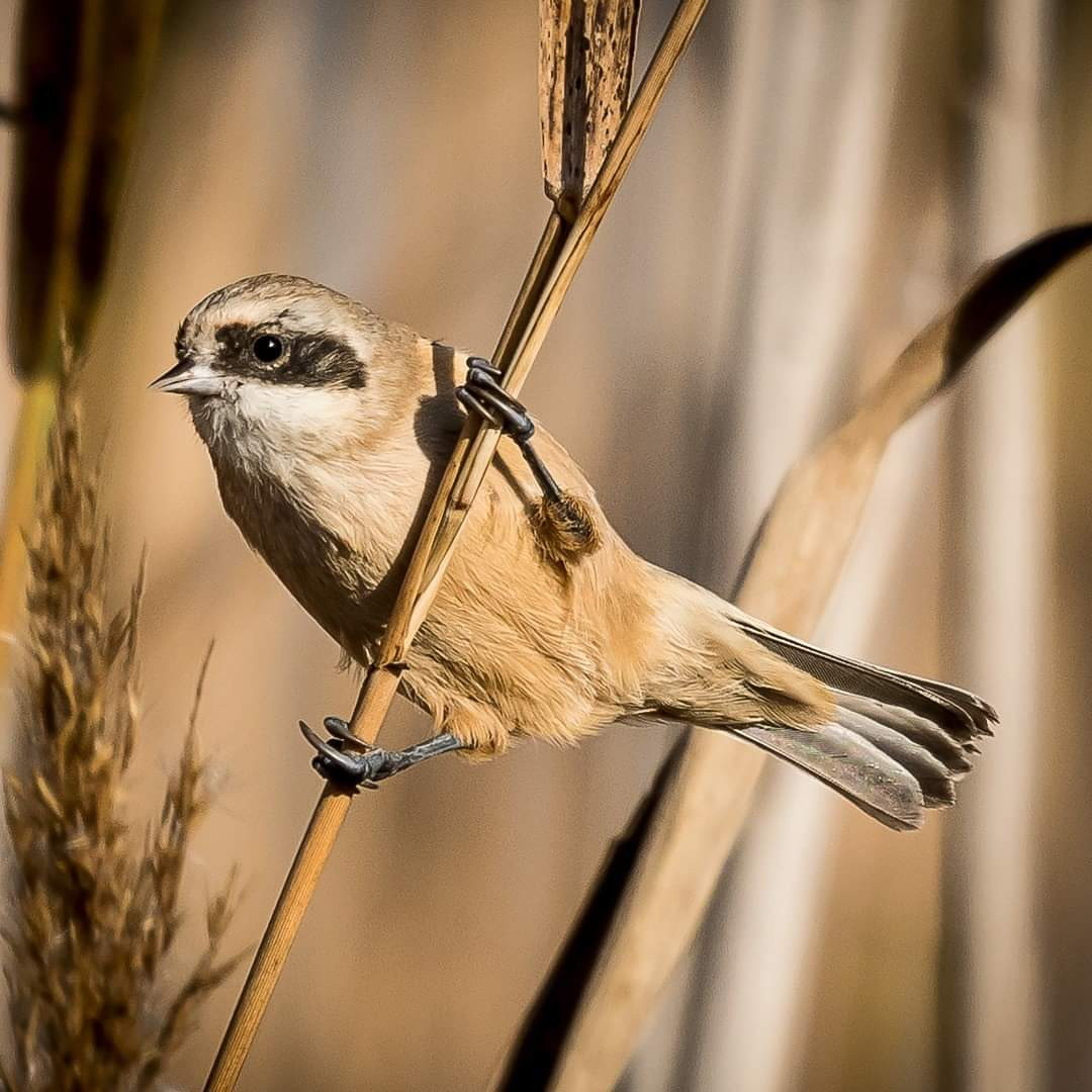
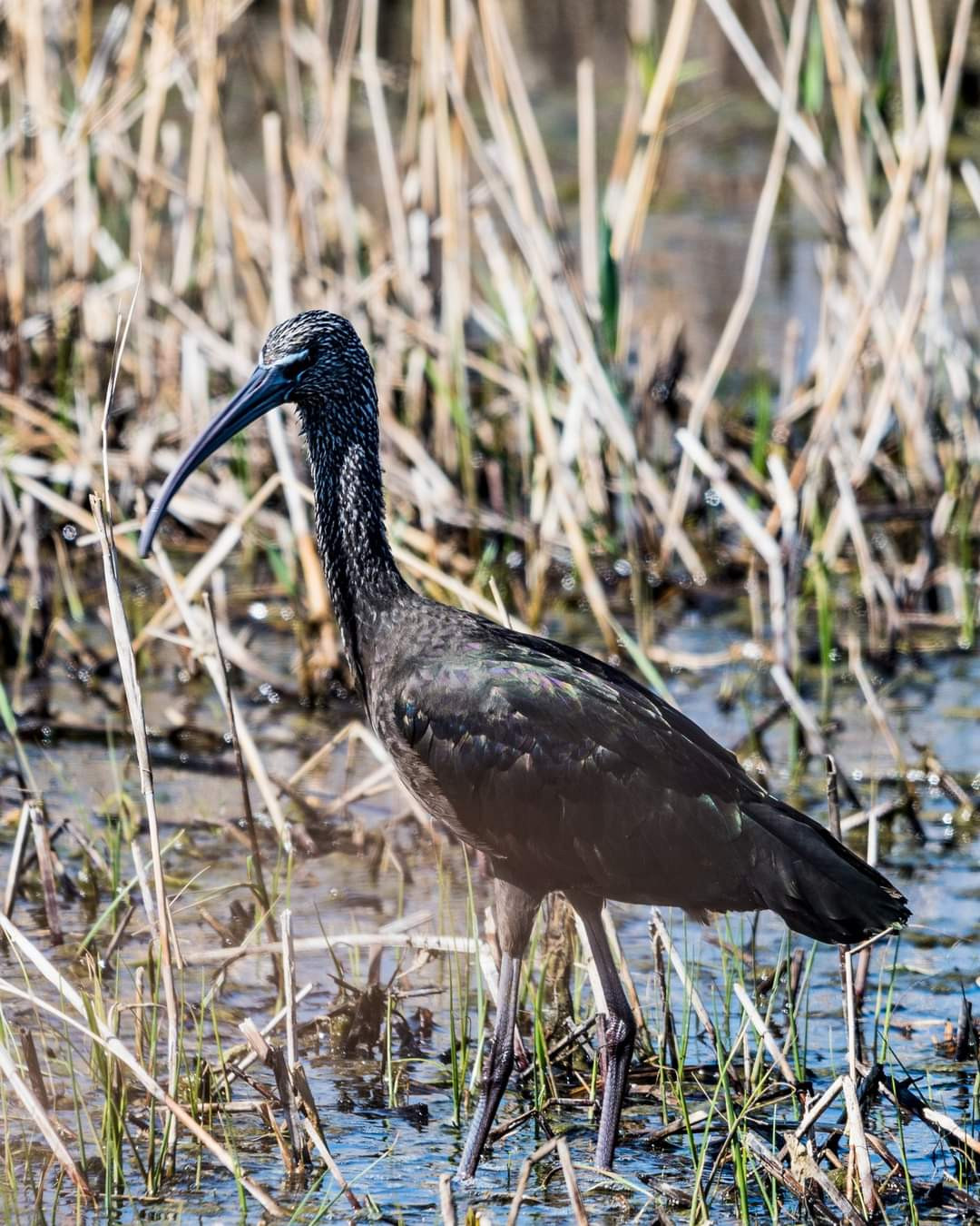
Parque natural Prat de Cabanes-Torreblanca is a coastal plain separated from the Mediterranean Sea by a strip of land, where you can see small lagoons. It is a fantastic place for bird watching as it possesses different types of ecosystems, which evolve starting at the coast all the way inland depending on the salinity of the soil. Bird species such as Rotflügel-Brachschwalbe, Rohrweihe, Wiesenweihe, Beutelmeise, Purpurhuhn, Mariskenrohrsänger, Sichler, Brandgans, Kolbenente, Stelzenläufer and Seeregenpfeifer can be observed.
_________________________
Espagnol: Parque natural Prat de Cabanes-Torreblanca es un humedal con agua todo el año. Este Parque Natural se caracteriza por ser un prado pantanoso en estado de colmatación que conforma uno de los mayores humedales de la Comunitat Valenciana. Se trata de una llanura litoral separada por un cordón de arena del mar Mediterráneo, en donde se pueden observar pequeñas lagunas de aguas libres. Dispone de un paisaje con un alto atractivo ecológico y paisajístico destacando la belleza de sus marismas y pantanos. Es un lugar fantástico para la observación de las aves presentando diferentes tipos de ecosistemas, los cuales van cambiando desde la costa hacia el interior en función de la salinidad que presentan sus suelos.
Details
Zugang
Parque natural Prat de Cabanes-Torreblanca is located 90 km north of the city of Valencia. The reserve is easy accessible from the parking lot in the town of Torre la Sal. Click on the P in the map for directions. The circular walk indicated on the map is about 8 km.
_________________________
Espagnol: Parque natural Prat de Cabanes-Torreblanca está situado a 90 km al norte de la ciudad de Valencia. Se puede llegar bien andando desde el parking del poblado Torre la Sal. Haga clic en la P en el mapa para obtener indicaciones para llegar al estacionamiento. El paseo circular indicado en el mapa es de unos 8 km.


 ) Tragen Sie die Vogelnamen in Ihrer Sprache ein. Sie werden automatisch für andere Nutzer übersetzt!