
Beschreibung
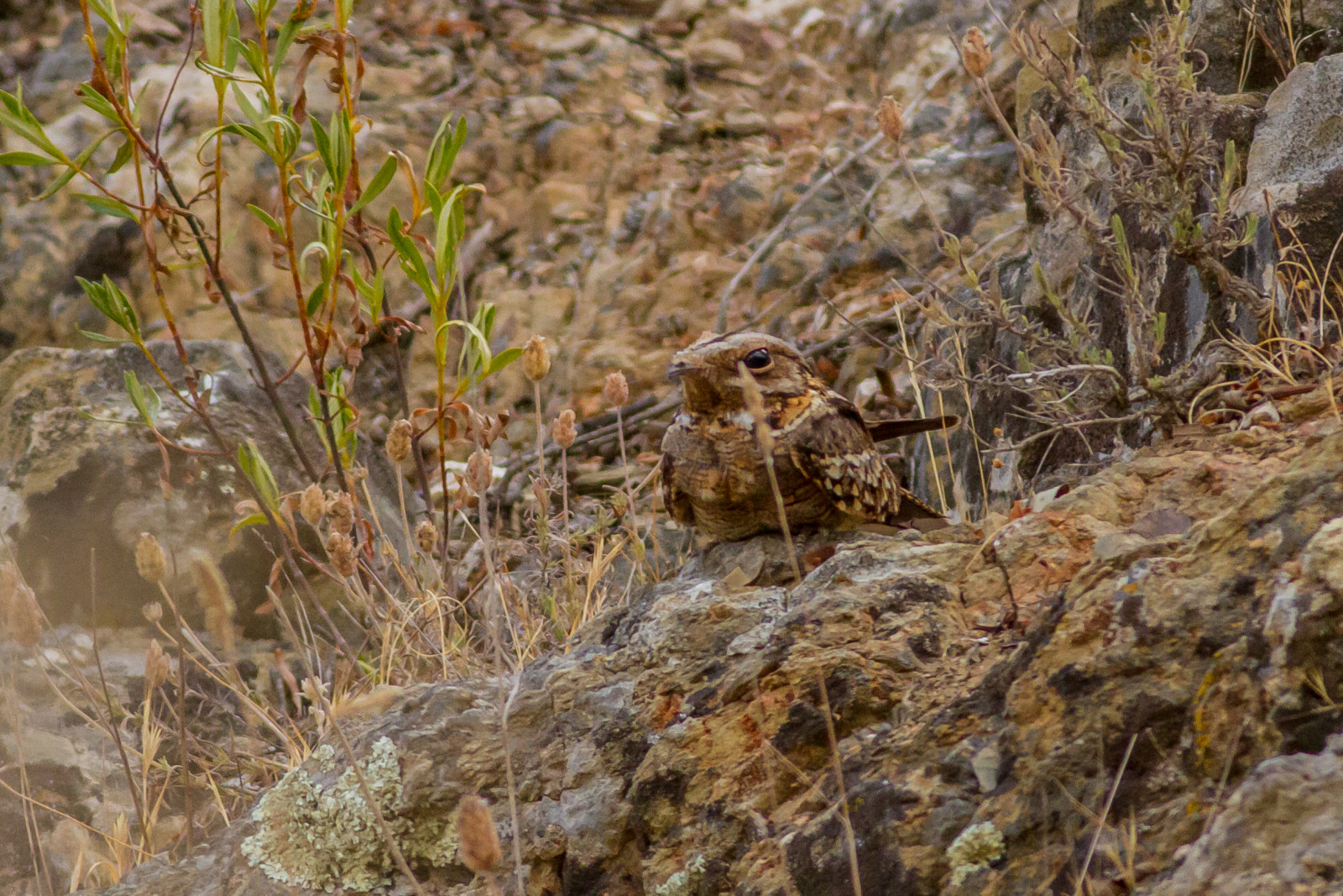
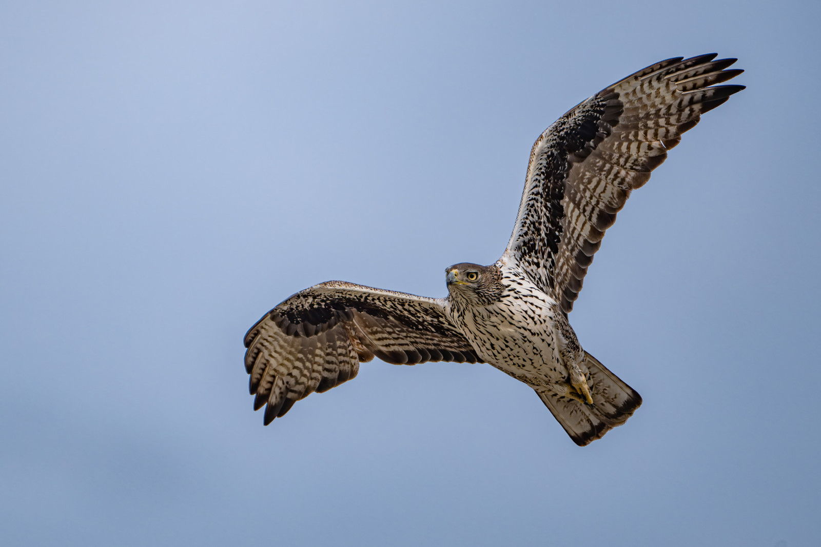
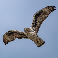
Columbares is an area of great ornithological richness, especially highlighting the group of birds of prey with birds like Steinadler, Habichtsadler, Mäusebussard and Uhu, but also Sperber, Turmfalke, Zwergohreule, Wanderfalke, Schlangenadler and Zwergadler. Other birds in the area include Rothals-Ziegenmelker, Tannenmeise, Misteldrossel, Singdrossel, Grauschnäpper, Bienenfresser, Rothuhn, Fichtenkreuzschnabel and Alpenkrähe.
_________________________
Espagnol: Se encuentra protegida como ZEPA junto a las sierras de la Cresta del Gallo, Villares, Altaona y Escalona. Es un zona de gran riqueza ornitológica, destacando especialmente el grupo de las rapaces: águila real, águila de Bonelli, busardo ratonero o búho real.
Details
Zugang
From the district of San José de la Vega, along the F-3 highway and in the direction of Balsicas, after passing through San José de la Montaña you continue along the F-13 highway, which runs parallel to the Rambla del Garruchal. You continue along this road from Puerto del Garruchal until you pass the area called "El Estrecho" and shortly after you will arrive at Venta del Garruchal. In front of it there is a large space of land, horizontal, without scrub, this being an ideal place to leave the vehicle and in turn, will be the starting and ending point of this route. Click on the P in the map for directions. The circular walk shown on the map is about 9 km.
_________________________
Espagnol: Desde la pedanía de San José de la Vega, por la carretera F-3 y en dirección hacia Balsicas, después de pasar por San José de la Montaña continuamos por la carretera F-13, que circula paralela a la rambla del Garruchal. Continuamos por esta carretera del Puerto del Garruchal hasta pasar la zona llamada “El Estrecho” y poco después llegaremos a la Venta del Garruchal, frente a ella hay un espacio grande de tierra, horizontal, sin matorral, siendo este un lugar ideal para dejar el vehículo y a su vez, será el punto de inicio y finalización de esta ruta. Haga clic en la P en el mapa para obtener direcciones. El paseo circular que se muestra en el mapa es de unos 9 km.


 ) Tragen Sie die Vogelnamen in Ihrer Sprache ein. Sie werden automatisch für andere Nutzer übersetzt!