Beschreibung
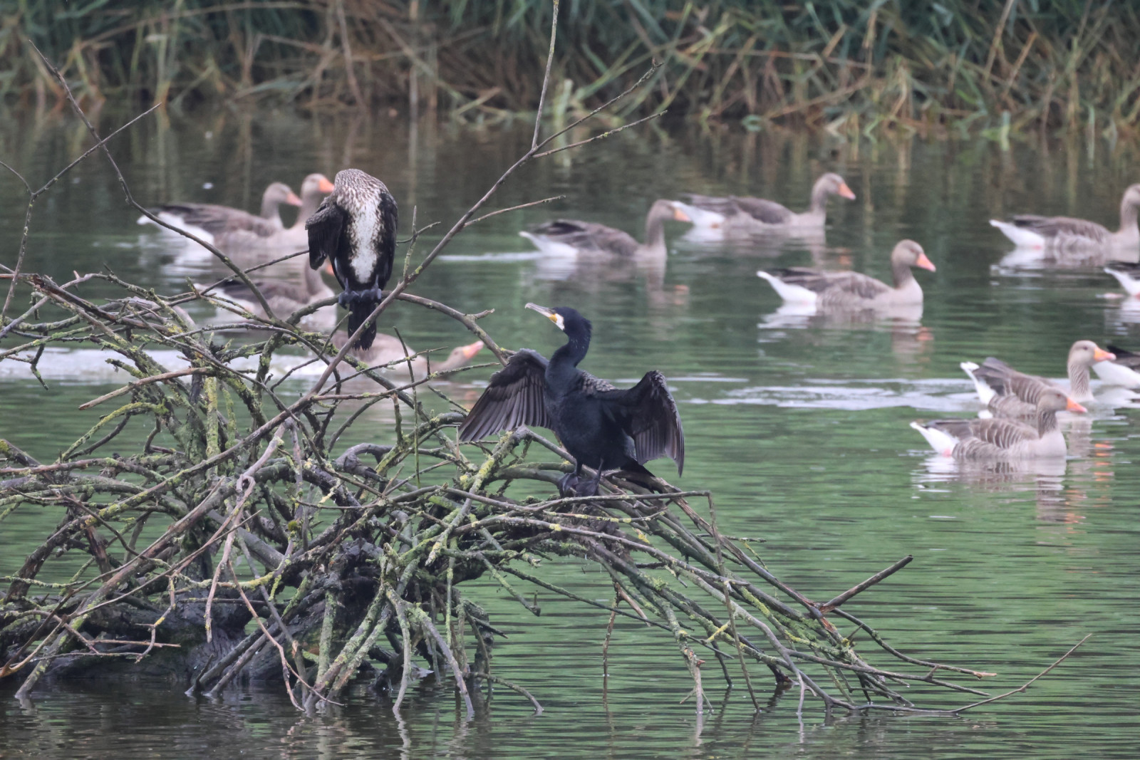
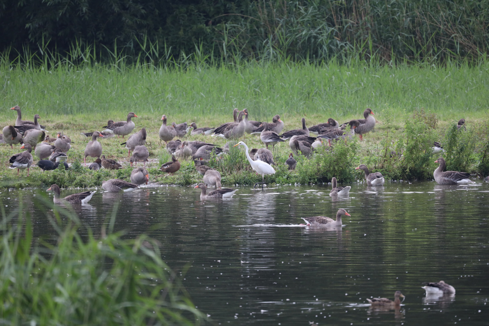
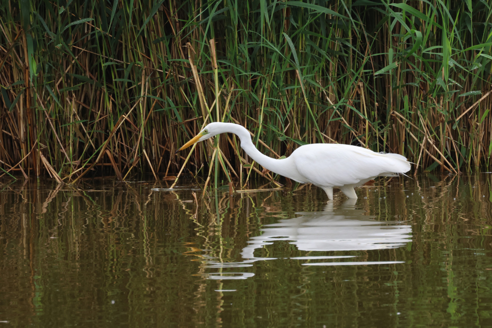
The ponds of the Weetzener Stapelteiche were created as former settling basins of the sugar factory in Weetzen, which was closed in 1993. In these settling basins, the washing water from the sugar beets, which was contaminated with a lot of soil, was used as a sedimentation basin. When the ponds dry out extensive areas with mud flats are created, which serve as gathering and resting places for many bird species, especially waders.
After the factory was closed, NABU (Birdlife Germany) and the Hanover region acquired the 6.5 hectare site, creating a refuge for many protected animals and plants. There are two observation towers offering a good view of the ponds.
Details
Zugang
The Weetzener Stapelteiche are located 12 km southwest of Hanover. Access is via the B217 near Weetzen. The ponds can be reached on foot or by bike from the road between Weetzen and Vörie - see map. Parking is available on the west side of the road at the water buffalo information board. Click on the P in the map for directions.
Terrain und Habitat
Feuchtgebiet , Schilfflächen , Grasland, Wiesen , Teich , SchlammflächenBedingungen
FlachRundweg
NeinIst ein Spektiv nützlich?
Möglicherweise hilfreichGute Beobachtungszeit
GanzjährigBeste Beobachtungszeit
Winter , Frühjahr , Herbst , SommerRoute
Normaler WegSchwierigkeitsgrad der Tour
EinfachErreichbarkeit
zu Fuß , FahrradBeobachtungshütten oder -türme
JaLinks
- Stapelteiche bei Weetzen - Infos der Stadt Ronnenberg
- Stapelteiche bei Weetzen - Infos des NABU Ortsgruppe Ronnenberg


 ) Tragen Sie die Vogelnamen in Ihrer Sprache ein. Sie werden automatisch für andere Nutzer übersetzt!