
Beschreibung
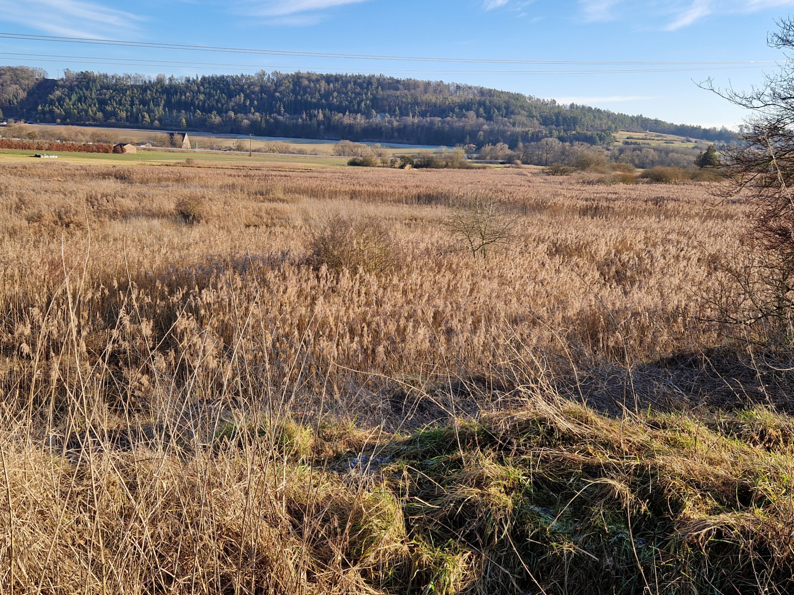
The Schambachried in the Franconian Jura is the oldest nature reserve in Middle Franconia. This calcareous fen was traditionally used as a litter meadow, meaning it was managed without fertilizer input; as a result, the landscape is particularly valuable for rare plants. The seven-hectare area consists of a litter meadow in the center, which is mown once a year (1), wet meadows (2), extensive reed beds (3), and canals used by beavers. Ornithologically, the area is not frequently visited but probably deserves more attention.
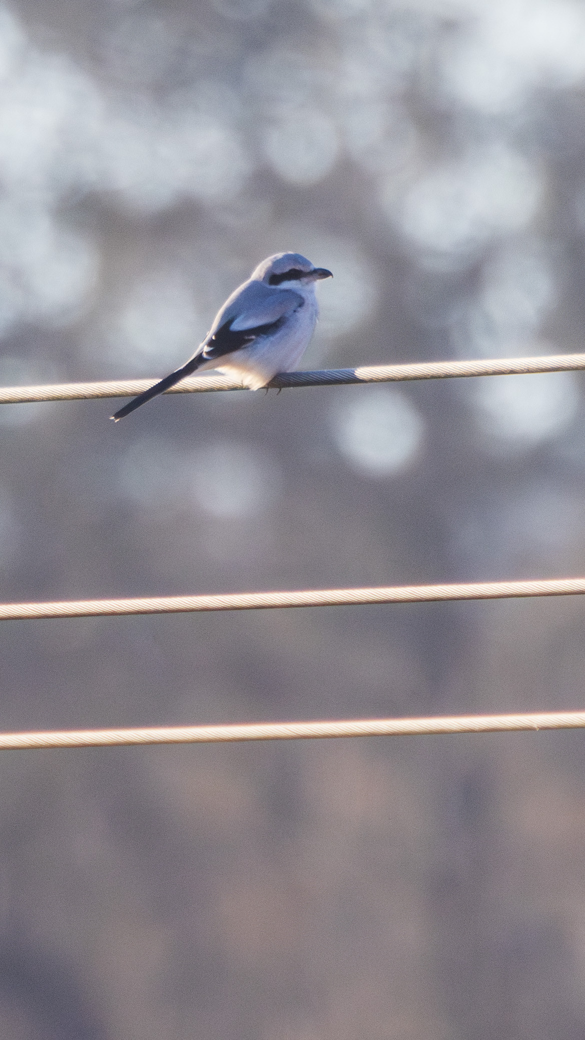
Breeding birds include Schwarzkehlchen, Wasserralle, and Rohrammer. Blaukehlchen, Feldschwirl, Dorngrasmücke, and Kuckuck have also been observed in the breeding season. During migration periods, Braunkehlchen can be found here, and in winter, Raubwürger has been recorded. One sighting of the rare Wachtelkönig dates from 2016.
From the forests of the Nagelberg, at the foot of which the fen is located, the calls of woodpecker species (Grünspecht, Schwarzspecht, and Grauspecht, which has also been sighted in the area of the fen) can be heard, along with Eichelhäher. Habicht might also visit the fen in search of food.
Details
Zugang
The Schambachried is located between Treuchtlingen and Schambach. Treuchtlingen is easily accessible by public transport, and from there, the fen can be reached on foot in 20 minutes or by bicycle in 5 minutes. The nearest parking lot is at the wildlife enclosure on the Nagelberg (click on "P" on the map to get directions). The paths around the fen are well-maintained and mostly wheelchair accessible. The best overview of a large part of the fen is from below a hunting seat, but it is also worthwhile to walk the paths along the edge of the reed beds. The circular walking route indicated on the map is about 5,5 km.


 ) Tragen Sie die Vogelnamen in Ihrer Sprache ein. Sie werden automatisch für andere Nutzer übersetzt!