
Beschreibung
The Marais de Brouage is a 13,000-hectare marshland rich in biodiversity and history. Once a gulf, it was gradually silted up and transformed into salt marshes during the Middle Ages. At its heart lies the fortified town of Brouage, a 16th-century citadel that was once a major salt-trading port and is now one of Les Plus Beaux Villages de France (Most Beautiful Villages of France).
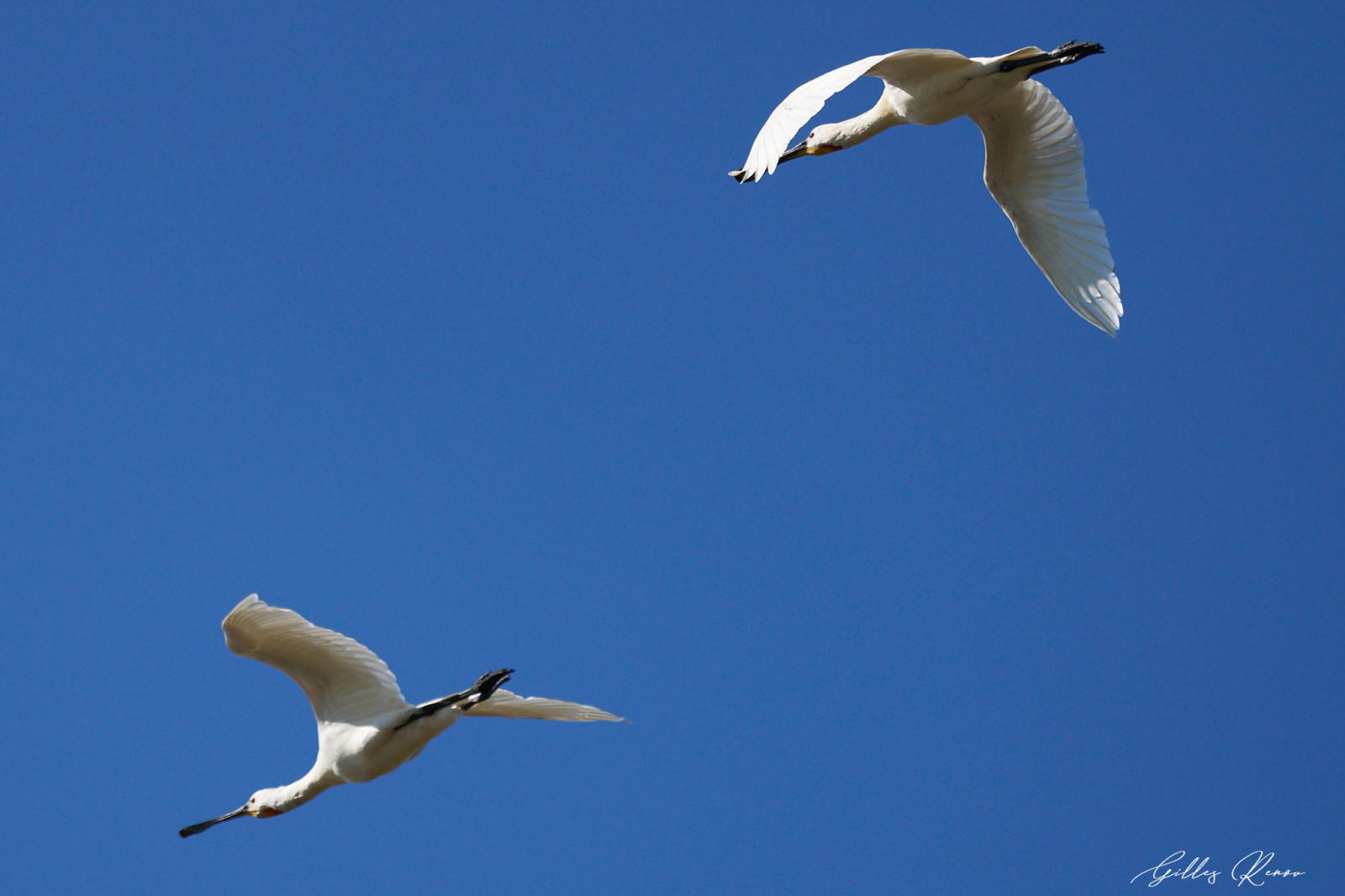
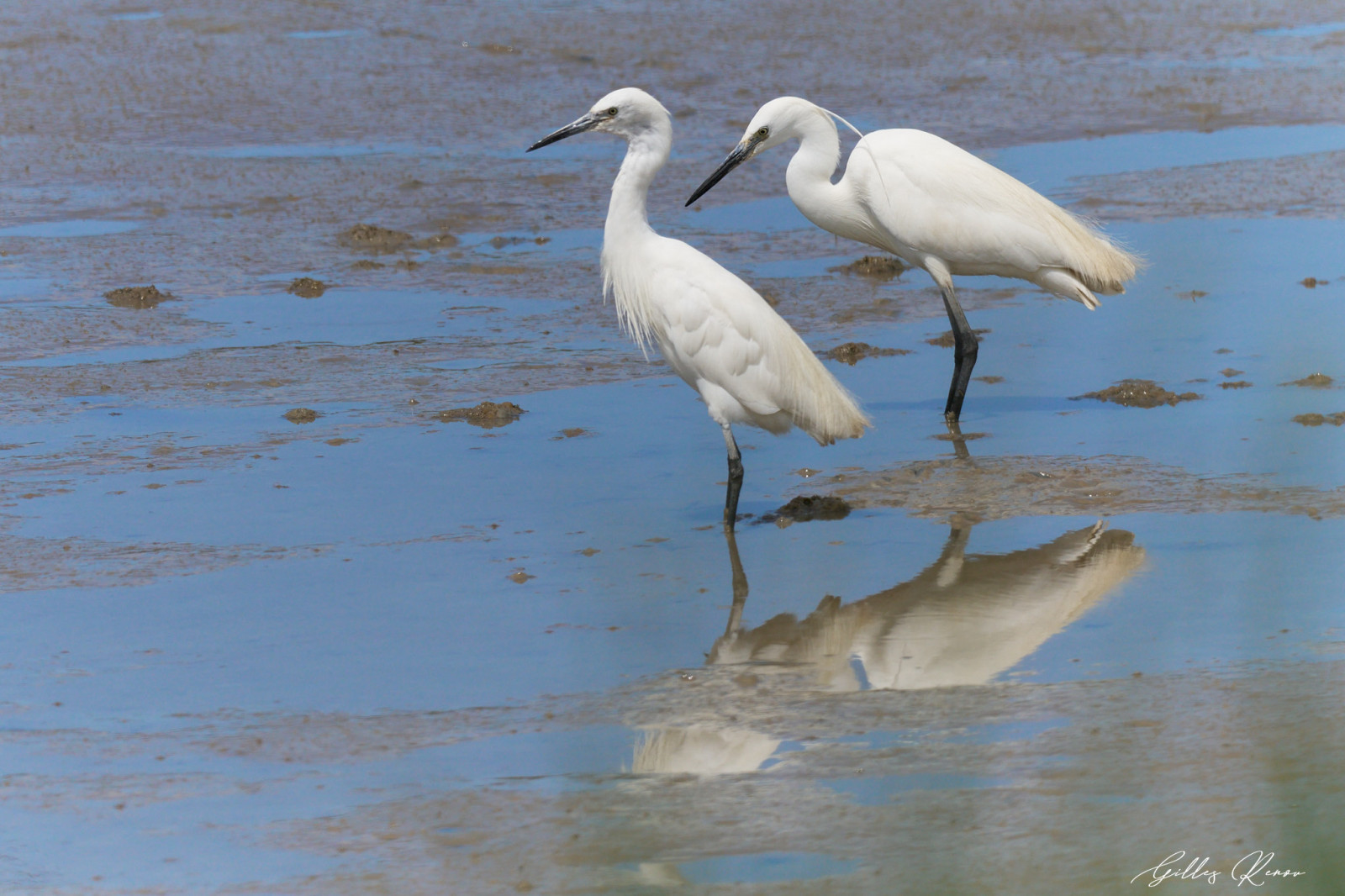
Brouage marsh was filled by sediments by the ocean from the 15th century onwards. Today, it’s a protected Natura 2000 site, home to hundreds of bird species and rare wildlife. It is a hotspot for marsh species, waders, herons and ducks. Best visited during spring and summer when the hunting season is closed and disturbance at the lowest.
Details
Zugang
The Marais de Brouage lies between the towns of Rochefort and Marennes, just across from Oléron Island on the Atlantic coast. You can access Marais de Brouage by any side and park where you find a free spot. Press a P on the map for directions.
Terrain und Habitat
Feuchtgebiet , Ebene , Fluss , SchilfflächenBedingungen
Flach , Sumpfig , Offene Landschaft , Hochwasser möglich , Kein SchattenRundweg
JaIst ein Spektiv nützlich?
Möglicherweise hilfreichGute Beobachtungszeit
Frühjahr , SommerBeste Beobachtungszeit
Herbstzug , Frühjahrszug , Sommer , FrühjahrRoute
asphaltierte Straße , Normaler Weg , unbefestigte Straße , Schmaler PfadSchwierigkeitsgrad der Tour
DurchschnittlichErreichbarkeit
zu Fuß , Fahrrad , AutoBeobachtungshütten oder -türme
NeinZusätzliche Informationen
You can stay on the main roads/tracks if visiting by car or bike but feel free to visit any small trails that you encounter. Go slow and take time to detail every sites where breeding birds can hide. Consider having a look/buy Where to watch birds in France (https://www.nhbs.com/where-to-watch-birds-in-france-pelagic-publishing-book). It is rich in details about birding sites.


 ) Tragen Sie die Vogelnamen in Ihrer Sprache ein. Sie werden automatisch für andere Nutzer übersetzt!