.jpg)
.JPG)
.JPG)
Beschreibung
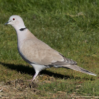
The headland is quite interesting if you manage to get round the bend as it's a nesting site for Uferschwalbe. If you get there at high tide you might have to take the inland route, but I recommend taking the detour and walk back along the beach to see the promontory. Among the birds you can encounter along the route are Seeadler, Brandgans, Schellente, Eiderente, Uferschwalbe, Eisvogel, Gänsesäger, Mittelsäger and Schneeammer.
Details
Zugang
There are parking lots at Sandvig and at the boat club at the end of Lille Nor Vej. Click on the P in the map to get directions. On the map is shown the longer stretch, that leads you long side the water around the headland. At high tide, you may have to consider the shorter route if you want to make the tour with dry shoes.


 ) Tragen Sie die Vogelnamen in Ihrer Sprache ein. Sie werden automatisch für andere Nutzer übersetzt!