
Beschreibung
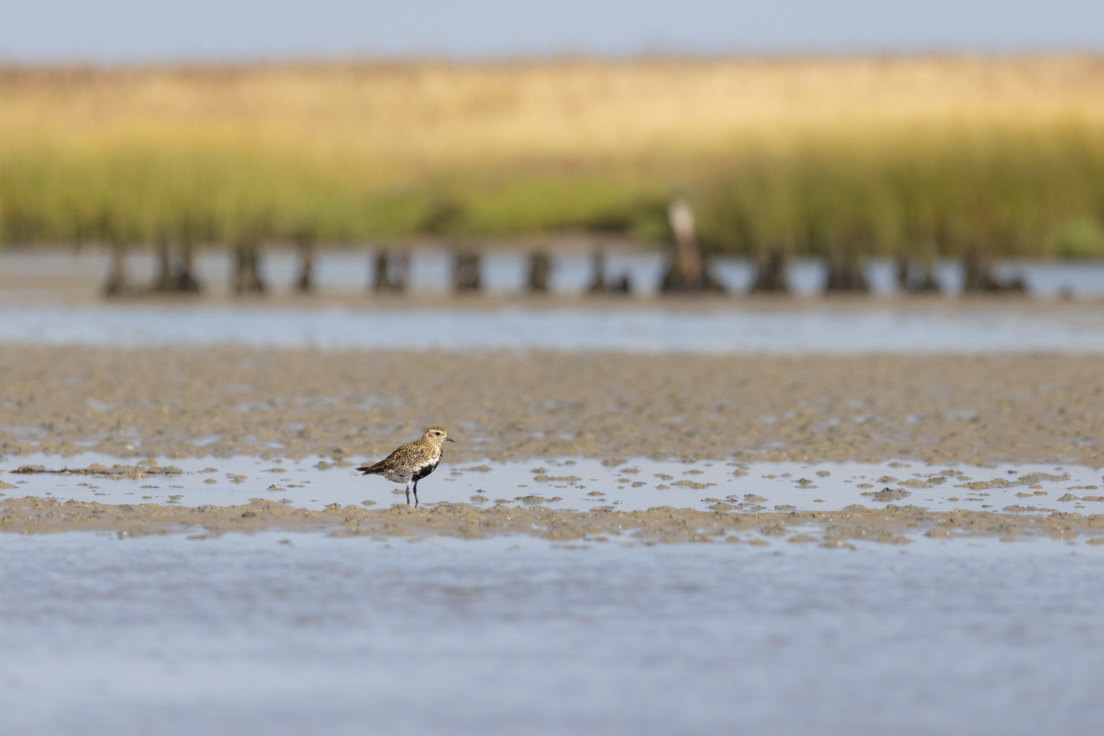
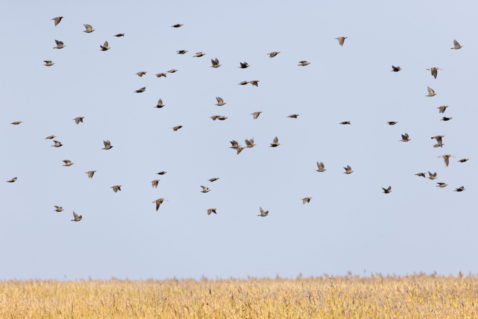
Mandø is the smallest of the three inhabited Danish Wadden Sea islands, along with Rømø and Fanø. There are birds everywhere on Mandø – both on the forelands and inside the dykes. The island is a paradise for birdwatchers, especially in the breeding and migrating seasons, when many geese, ducks and waders stage on and around the island.
To the south-west of Mandø is Koresand, which is a high sandbank with an area twice the size of Mandø. Koresand is flooded at extreme high tides and there is no vegetation. There are very few breeding birds - primarily Küstenseeschwalbe and Zwergseeschwalbe.
Inside the seawall and parallel to it is a canal with a series of clay pits that were left after construction of the seawall. A road follows the canal round the island. Most of the embanked area on the island is extensively cultivated arable land. The village of Mandø is on the west side of the island, behind a protective line of sand dunes. This is the highest point on the island. In 1890, 262 people were living on Mandø – today there are only 32. There are only a few holiday cottages and tourism is limited because of the rather difficult access conditions. This means that Mandø is often a very peaceful place to walk around in.
There is a large breeding population of Uferschnepfe and Mandø is one of the last stable breeding sites in Denmark for this species. Kampfläufer also breeds here but not regularly. Other breeding birds include Rothalstaucher, Knäkente, Austernfischer, Säbelschnäbler and Rohrweihe. On spring and autumn migration, thousands of ducks, geese and waders stage on and around Mandø.
Details
Zugang
Mandø is located in southwestern Jutland. The island can be reached by a causeway (Låningsvejen) which is flooded by the high tide twice a day. One can come to Mandø by tractor bus or by car. Tractor buses leave from the Wadden Sea Center (Vadehavscentret) in Vester Vedsted a few times daily in the summer months. The timetable is dependent on the tides.
If one wishes to take a car over to Mandø, it is possible to drive along the gravel causeway (Låningsvejen) across the tidal area. The gravel causeway is 5km long and is flooded at high tide so it is necessary to check the high tide tables before setting off. The causeway is passable until three hours before and three hours after high tide. The drive over the tidal area is a rewarding experience and birds can be seen at close range. Ensure you check the tide schedule (see a link to the tide table below).
When on the island, one can walk or drive along the road behind the seawall, which goes all the way round the island. Most of the birdlife can be seen from this road. It is not permitted to walk on top of the seawall, but it is allowed to use the road crossings over the seawall, which are placed at regular intervals.
Terrain und Habitat
Meer , Strand , Schlammflächen , DünenBedingungen
Offene Landschaft , Hochwasser möglichRundweg
JaIst ein Spektiv nützlich?
Möglicherweise hilfreichGute Beobachtungszeit
GanzjährigBeste Beobachtungszeit
Frühjahrszug , HerbstzugRoute
Normaler Weg , asphaltierte StraßeSchwierigkeitsgrad der Tour
EinfachErreichbarkeit
zu Fuß , FahrradBeobachtungshütten oder -türme
NeinZusätzliche Informationen
The Wadden Sea Centre in Vester Vedsted has an exhibition on nature, culture and floods, together with a café and toilets. See the weblink below.


.jpg)
 ) Tragen Sie die Vogelnamen in Ihrer Sprache ein. Sie werden automatisch für andere Nutzer übersetzt!