

Beschreibung
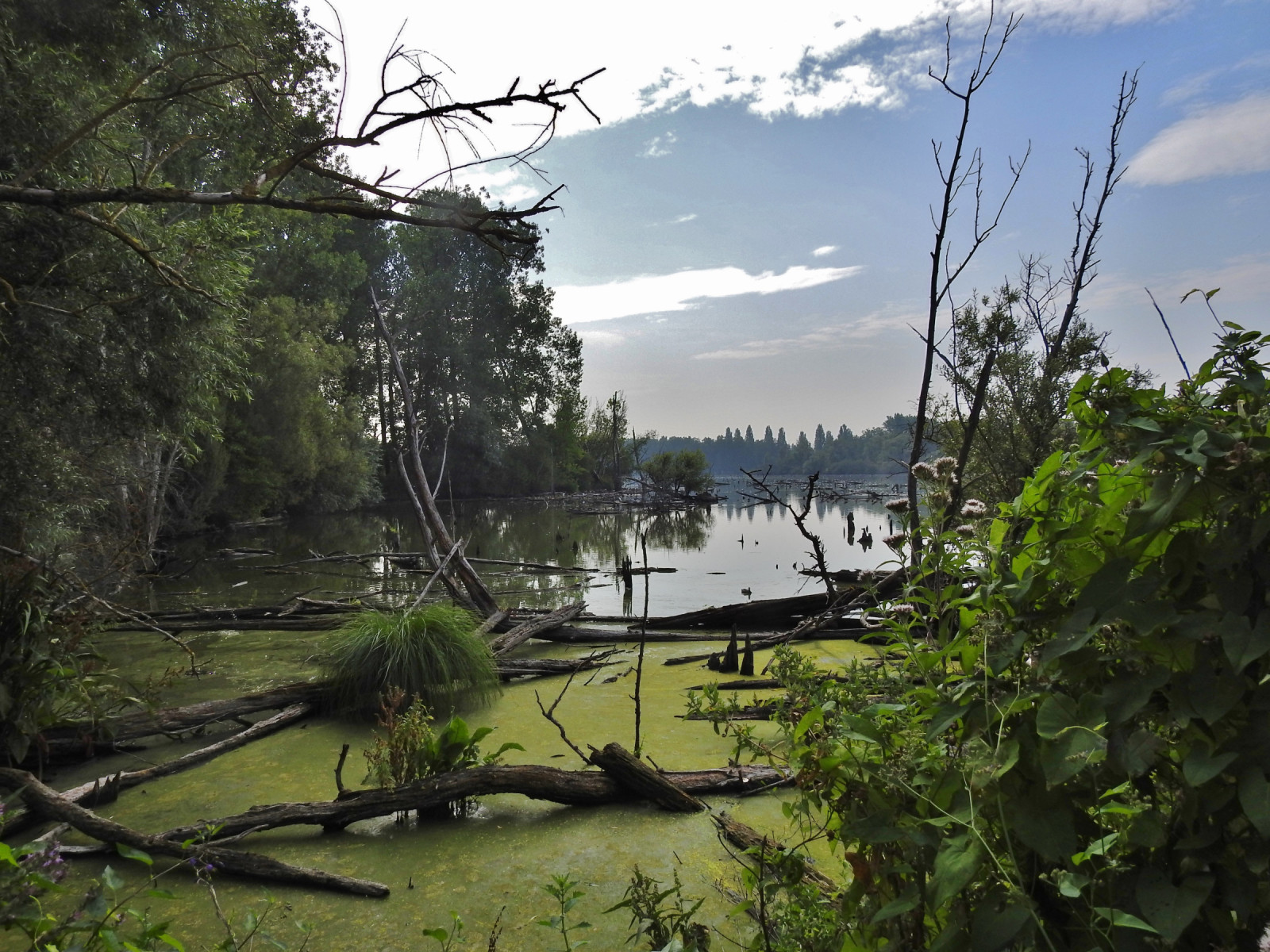
Les Marais d'Harchies consists of four large ponds, marshes, 24 hectares of reed beds and meadows with pollard willow. The wetland was created when subsidence from mining began to fill with water from the 1920s. Between 1968 and 1971, the marshes were drained for a construction project that failed, and the area was subsequently purchased for protection. As a result, they were refilled with groundwater and rainwater. The area now consists of a patchwork of ponds, marses and open meadows which offer ideal conditions and quietness for breeding birds. At the observatories, you may see: Silberreiher, Zwergschwan, Blaukehlchen, Nachtreiher and Fischadler.
Details
Zugang
Coming from Namur, Charleroi, Mons, take the 26th exit on the E42 highway "Dour, Pommeroeul". Follow signs Harchies, then CRIE d'HArchies boards. Coming from Tournai, Courtrai take the 27th exit on the E42 highway. Click on a P in the map to get directions to a parking place.
Terrain und Habitat
Feuchtgebiet , SchilfflächenBedingungen
Flach , SumpfigRundweg
JaIst ein Spektiv nützlich?
Möglicherweise hilfreichGute Beobachtungszeit
GanzjährigBeste Beobachtungszeit
Frühjahrszug , Winter , Frühjahr , Herbst , HerbstzugRoute
unbefestigte StraßeSchwierigkeitsgrad der Tour
EinfachErreichbarkeit
zu Fuß , FahrradBeobachtungshütten oder -türme
JaZusätzliche Informationen
The trail marked on the map is about 7 km and leads you to all the best places.


 ) Tragen Sie die Vogelnamen in Ihrer Sprache ein. Sie werden automatisch für andere Nutzer übersetzt!