Beschreibung
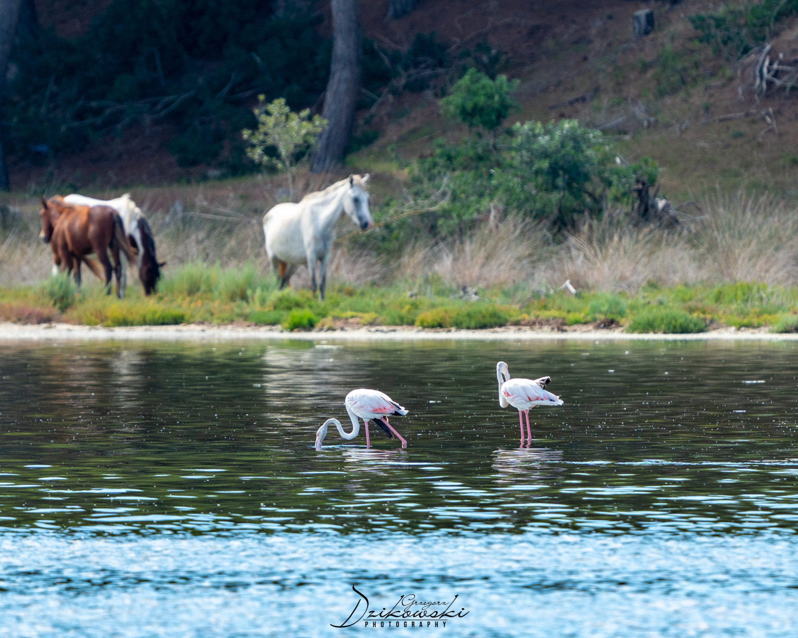
Narta Lagoon (Albanian: Laguna e Nartës) is a lagoon of the Adriatic Sea on the Mediterranean Sea in the central coast of Albania. The lagoon extends north of the Bay of Vlorë on the eastern shore of the Strait of Otranto and is separated from the sea by a narrow coastal strip, consisting of an alluvial dune. The lagoon has a surface of 41.8 km2 with a maximal depth of 1.5 m.
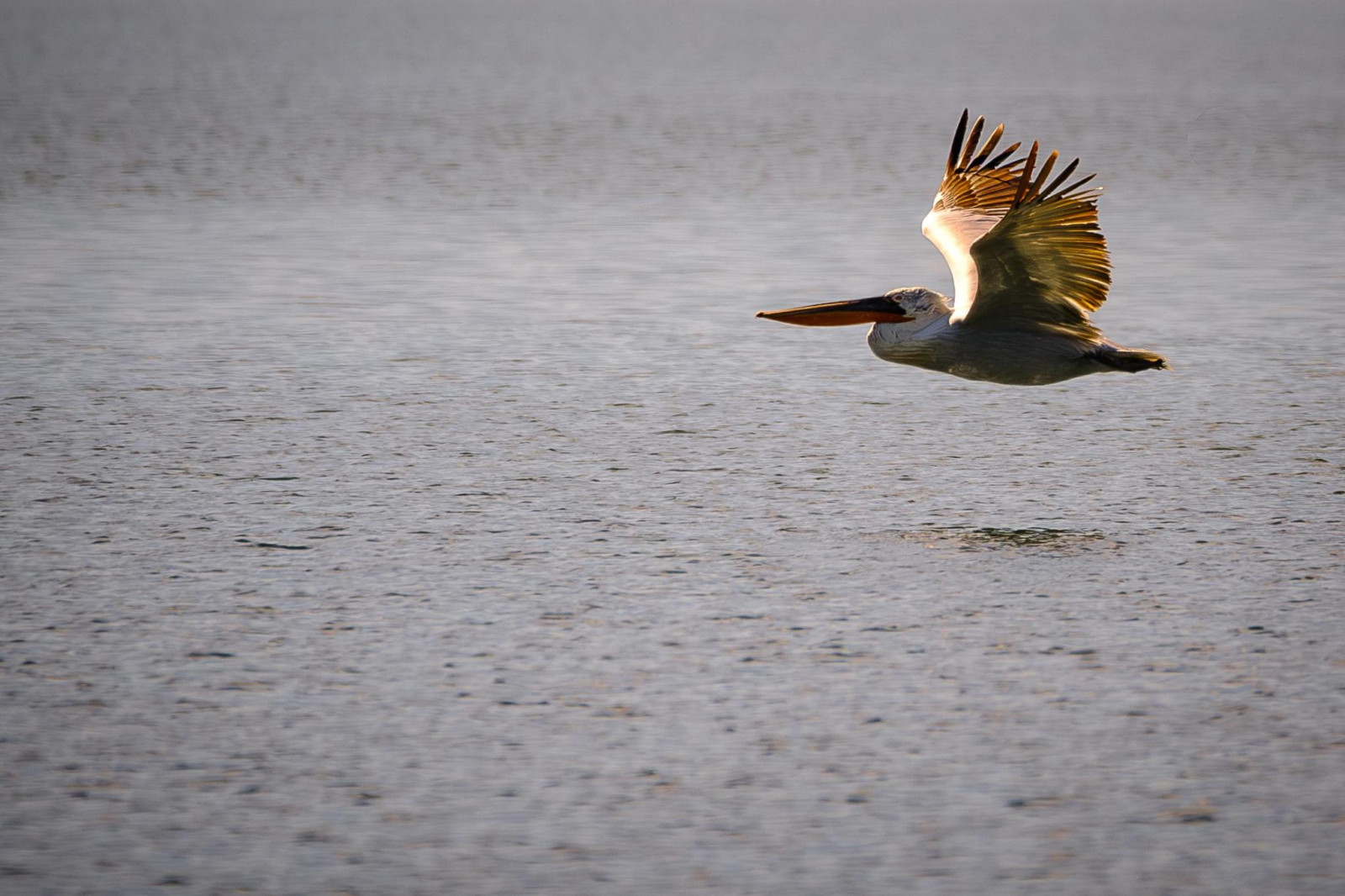
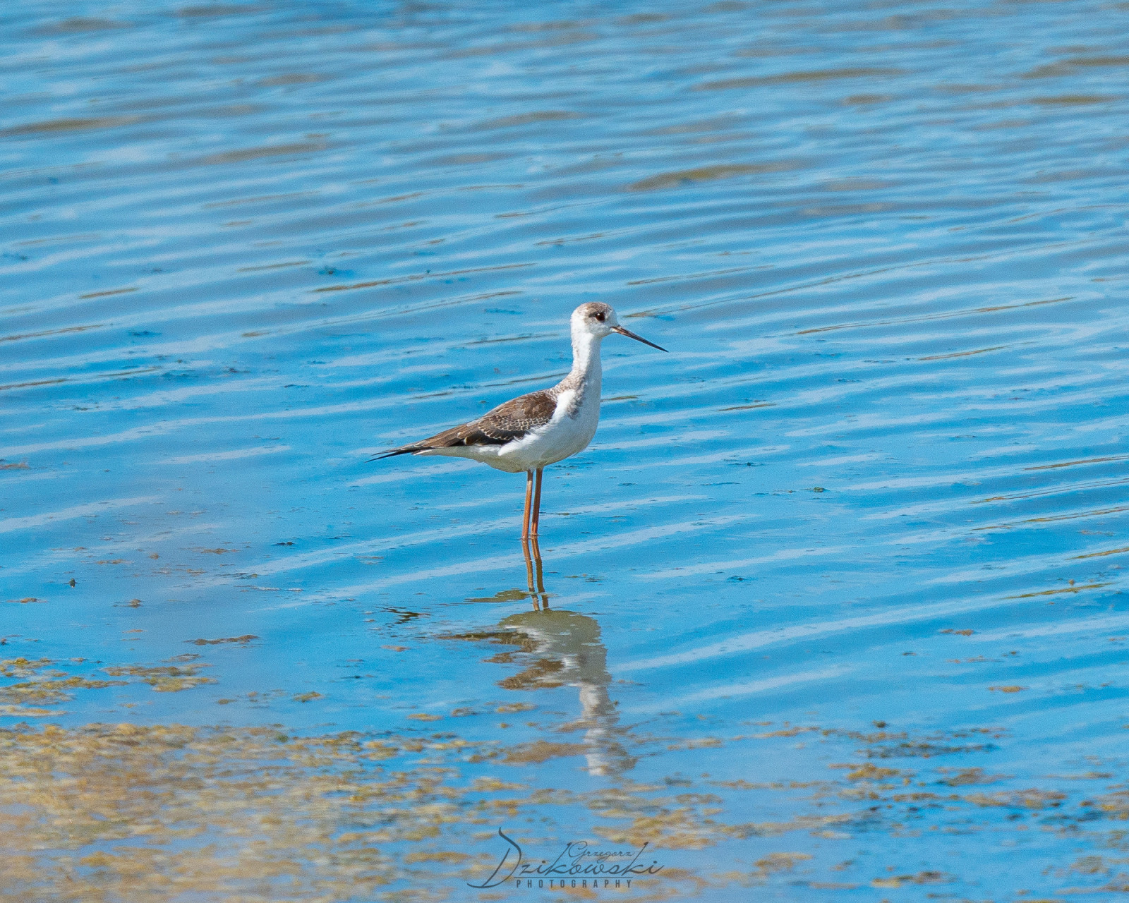
Narta Lagoon is situated within the boundaries of the Vjosa-Narta Protected Landscape and has been recognised as a Bird and Plant Area of international importance. As of May 2020, it is home to 3,000 Rosaflamingo. It is formed by the constant accumulation of solid flow of the Vjosa River, which originates within the Pindus Mountains close to the border between Albania and Greece.
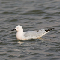
The lagoon is named after the village of Nartë, which is found on the lagoon's southern shores. Within the lagoon, there are two islands located, with Zvërnec Island being the largest. A wooden footbridge connects mainland to the island, where a 13th-century monastery is located. At least 34,800 wintering birds can be counted on the lagoon.
Details
Zugang
Narta Lagoon is easily accessible by car. Make several stops along the road and watch birds from the car to take nice pictures. Scan the saltpans from the road. Click on the P in the map for directions or coordinates. The route indicated on the map is about 19 km.
Terrain und Habitat
Wald , Feuchtgebiet , Ebene , Steppe , See , Strand , Schlammflächen , Landwirtschaft , Vereinzelte Bäume und Büsche , Grasland, Wiesen , Meer , Dünen , Schilfflächen , Stadt/DorfBedingungen
Flach , Sumpfig , Sandig , Trocken , Offene LandschaftRundweg
JaIst ein Spektiv nützlich?
JaGute Beobachtungszeit
GanzjährigBeste Beobachtungszeit
Frühjahrszug , HerbstzugRoute
asphaltierte Straße , unbefestigte StraßeSchwierigkeitsgrad der Tour
DurchschnittlichErreichbarkeit
zu Fuß , Fahrrad , AutoBeobachtungshütten oder -türme
JaZusätzliche Informationen
Photo Flamingos by Charles J. Sharp, CC BY-SA 4.0, https://creativecommons.org/licenses/by-sa/4.0.


 ) Tragen Sie die Vogelnamen in Ihrer Sprache ein. Sie werden automatisch für andere Nutzer übersetzt!