
Description
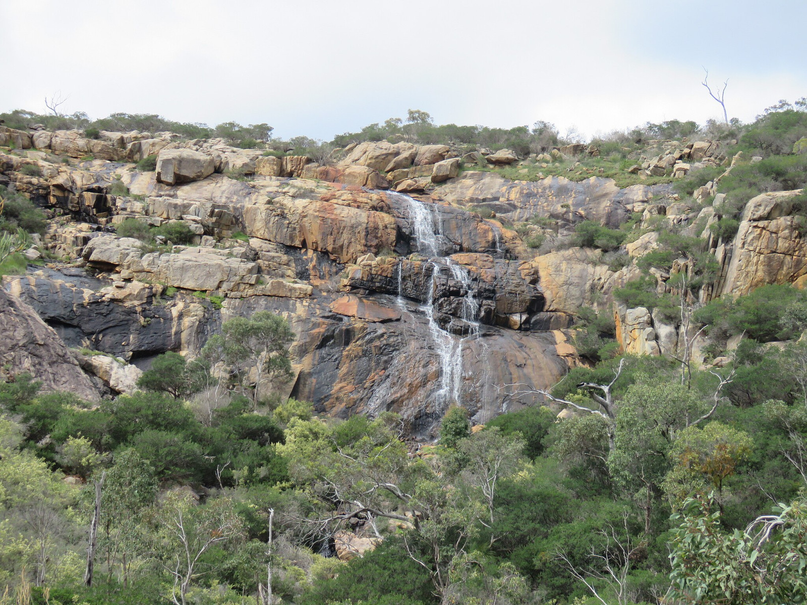
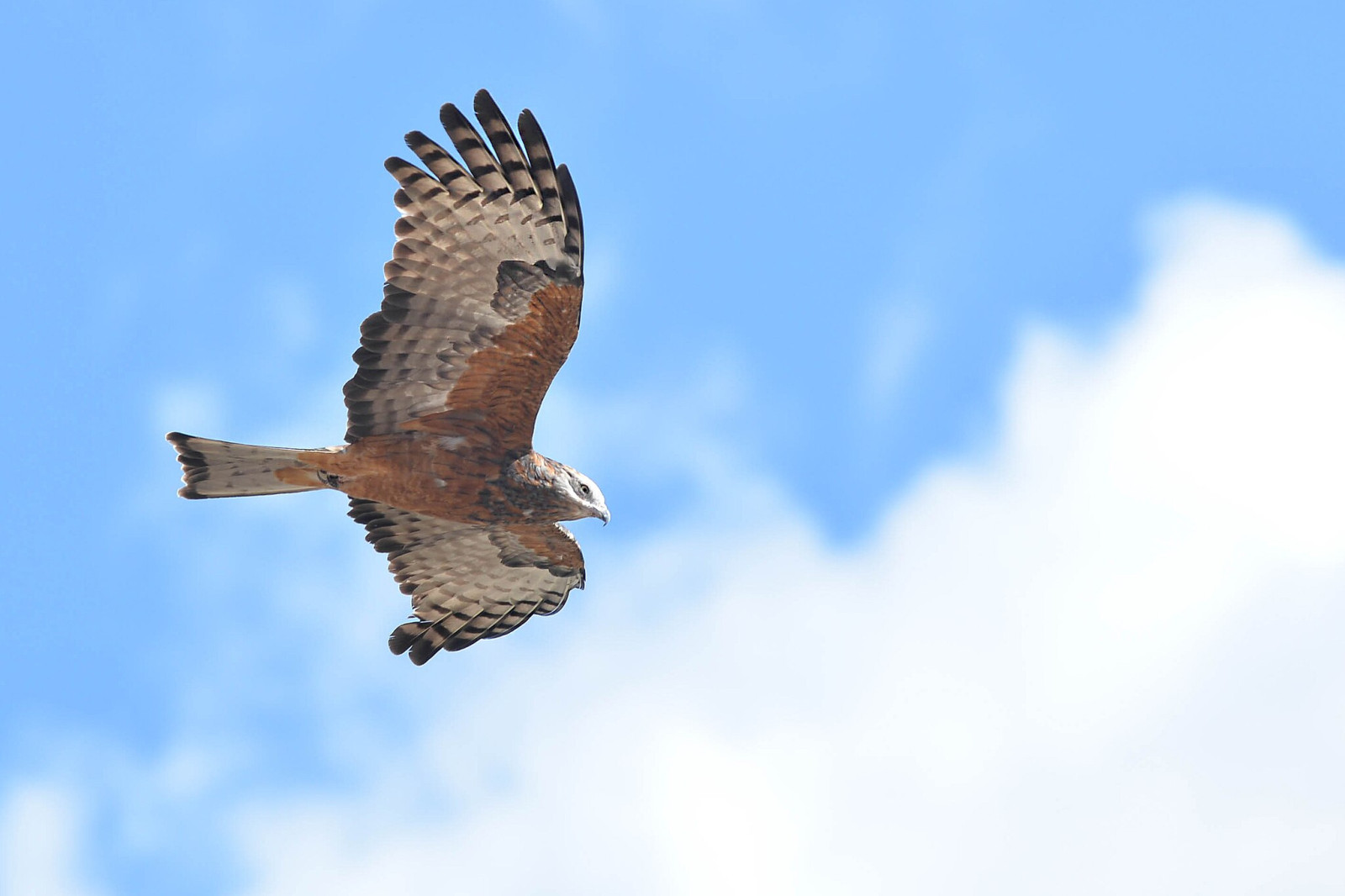
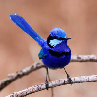
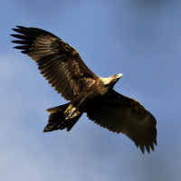
Ellis Brook is a large area of natural bushland straddling the Darling Scarp. The scenery is dramatic with rugged ridges each side of the valley. The ‘Sixty Foot Waterfall’ plunges from the top of the scarp after winter rains. The spring time wildflowers are diverse and spectacular. A large number of bird species can be found in the valley. For example Red-eared Firetail, Square-tailed Kite, White-breasted Robin, Splendid Fairywren, Mistletoebird, Tawny-crowned Honeyeater, Australian Ringneck and Wedge-tailed Eagle.
Details
Access
Ellis Brook is located on Rushton Road in the suburb of Martin. Only a 35 minute drive from Perth. A picnic area with barbecue facilities, picnic shelters, seating, tables and composting toilets are on site near the Honeyeater Hollow Picnic Area. Parking bays are available at the picnic area and in the heart of the Ellis Brook valley near the start of the Sixty Foot Falls trail. Press P on the map for directions to a parking spot.
There are four walking trails of varying degrees of difficulty, ranging from the 'Easy Walk Trail', to the more difficult Sixty Foot Falls Trail (2 km loop trail), which takes in sweeping views across Perth from the top of the waterfall and past the Old Barrington Quarry. Interpretation signage and shelters available. Drinking water is not available so be sure to bring a water bottle.
Terrain and Habitat
Valley , Scattered trees and bushes , Moors/heathlandConditions
HillyCircular trail
YesIs a telescope useful?
NoGood birding season
All year roundBest time to visit
SpringRoute
Narrow trailDifficulty walking trail
Average walkAccessible by
Foot , CarBirdwatching hide / platform
NoLinks
- Brochure on Ellis Brook Valley.
- Ellis Brook on eBird.
- Urban Bushland Council - Treasures Pages - Ellis Brook Valley.


 ) to insert bird names in your own language. The birdnames will automatically be translated for other users!